


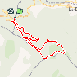

11.4 km | 21 km-effort

User


FREE GPS app for hiking
 SityTrail
IGN / Geographical institutes
SityTrail World
The world is yours!
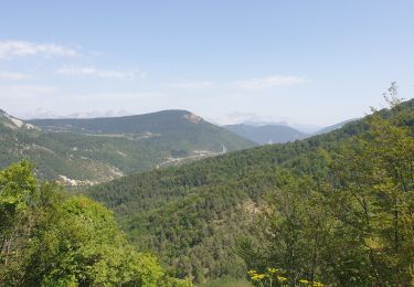
Trail Walking of 10 km to be discovered at Provence-Alpes-Côte d'Azur, Hautes-Alpes, La Beaume. This trail is proposed by pcugnod.
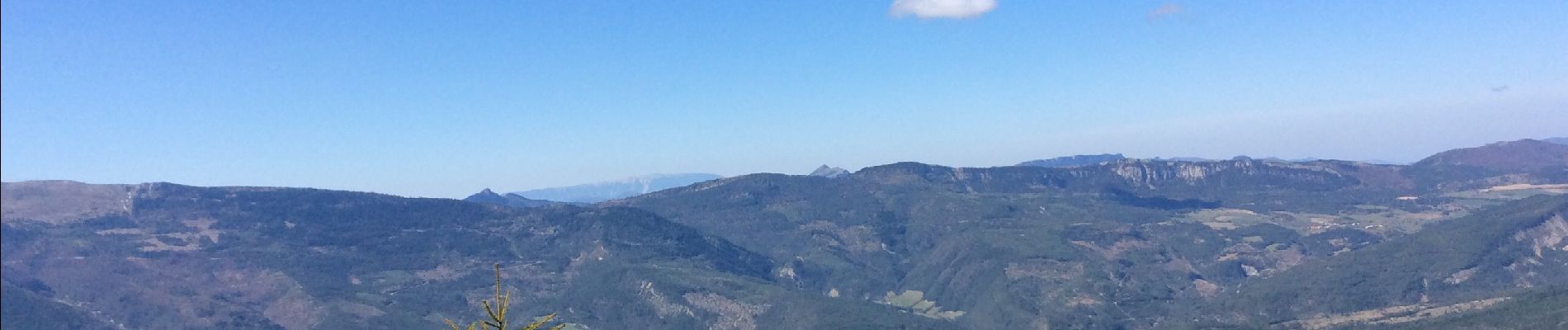
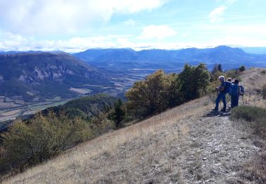
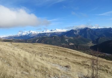
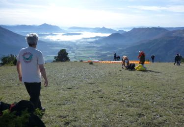
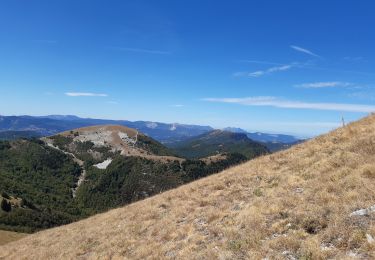
Belle montée en sous bois jusqu’au sommet de Banne où la vue à 360° est superbe !


Walking
Walking
Walking
Walking

Walking

Walking
Walking
Walking

Mountain bike